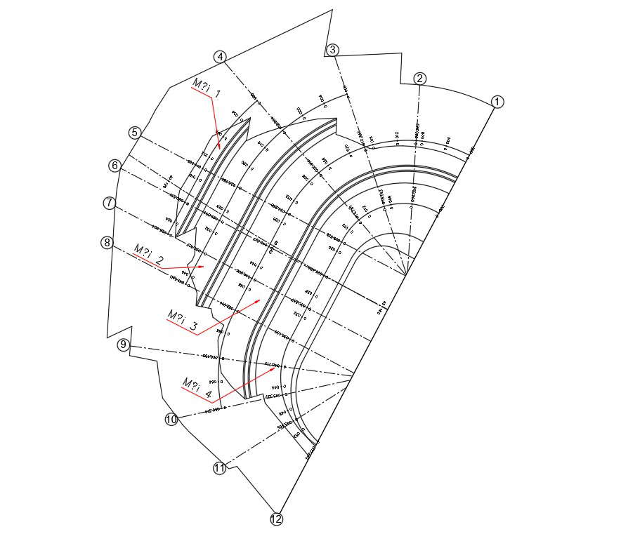
File has the survey marking of land in Autocad DWG file. A vertical datum is a surface of zero elevation to which heights of various points are referenced. Traditionally, vertical datums have used classical survey methods to measure height differences (i.e. geodetic levelling) to best fit the surface of the earth. Thanks for downloading the file and other CAD program from our website.


