Town Planning DWG File with Urban Layouts, Sections, and Street Plans
Tags
Ratings & Reviews
Be the first to share your experience with this product. Your review helps others make better decisions!
Description
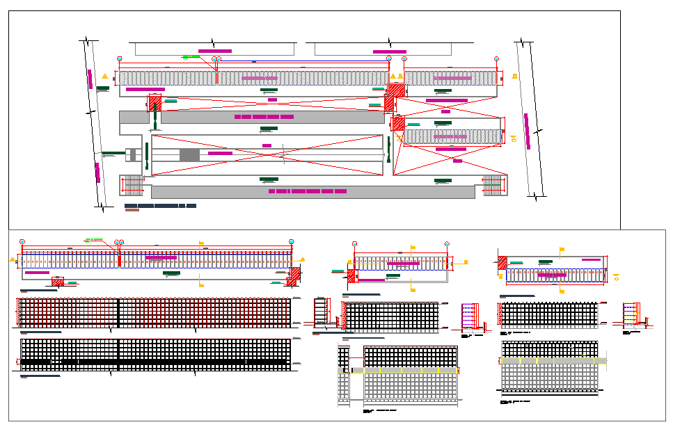
Enhance your urban development and civil engineering projects with this Town Planning DWG file, designed for detailed city and township layouts. This AutoCAD file includes precise street layouts, plot divisions, building blocks, road networks, and sectional details. All dimensions are clearly labeled, allowing architects, civil engineers, and urban planners to integrate it seamlessly into AutoCAD, Revit, 3d Max, and SketchUp for accurate modeling, visualization, and project documentation.
The DWG file features comprehensive urban planning details, including plot arrangements, road intersections, green areas, pedestrian zones, and service corridors. Sectional and elevation views provide clear references for roads, sidewalks, and infrastructure placements, ensuring professional-quality planning documentation. Perfect for both educational and professional purposes, this ready-to-use, fully measured DWG file saves time while maintaining precision. Subscribe now to access this high-quality AutoCAD DWG file with complete town layouts, sections, and street planning details to expand your project library with precise, editable, and ready-to-use urban development drawings.

Uploaded by:
Harriet Burrows
Tags
Ratings & Reviews
Be the first to share your experience with this product. Your review helps others make better decisions!