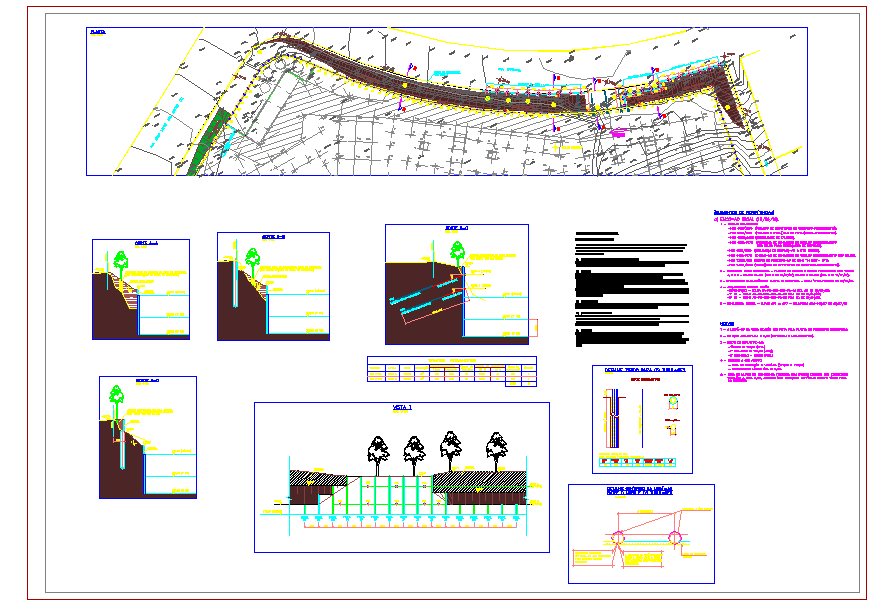
Town Planning AutoCAD Layout Site Plan Road Drainage 200.00m x 400.00m
Tags
Ratings & Reviews
Be the first to share your experience with this product. Your review helps others make better decisions!
Description
This town planning AutoCAD layout site plan 200.00m x 400.00m drawing provides complete urban development and civil infrastructure documentation for residential, commercial, or mixed-use projects. The layout includes detailed road networks, sidewalks, drainage channels, plot divisions, green areas, parking zones, and pedestrian pathways with precise dimensional annotations. Elevation and sectional views illustrate retaining walls, slope gradients, cross-sections of roads, culverts, and utility alignment for construction clarity. Structural grid lines, setback measurements, and site boundaries are clearly indicated for site execution and planning approval.

Uploaded by:
john kelly
Tags
Ratings & Reviews
Be the first to share your experience with this product. Your review helps others make better decisions!