Urban Town Planning DWG with Layouts, Roads, and Building Plots
Tags
Ratings & Reviews
Be the first to share your experience with this product. Your review helps others make better decisions!
Description
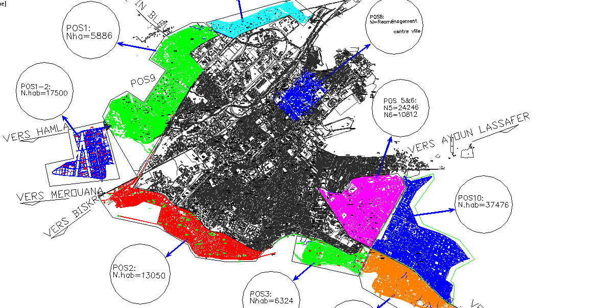
This Urban Town Planning DWG file provides a comprehensive architectural and civil layout for modern town development projects. The drawing includes detailed street layouts, road networks, building plots, parks, and open spaces with accurate measurements and annotations. Each plot and circulation area is clearly labeled, making it ideal for architects, civil engineers, and urban planners managing residential, commercial, and mixed-use developments.
In addition to the site layout, this DWG file includes sectional plans, street alignment, green spaces, and infrastructure details. Compatible with AutoCAD, Revit, 3ds Max, and SketchUp, the file supports precise project visualization, presentation-ready documentation, and construction planning. Whether designing a new urban township or upgrading an existing area, this DWG ensures professional-grade accuracy, clear site organization, and efficient workflow for city planning and development projects.

Uploaded by:
john kelly
Tags
Ratings & Reviews
Be the first to share your experience with this product. Your review helps others make better decisions!