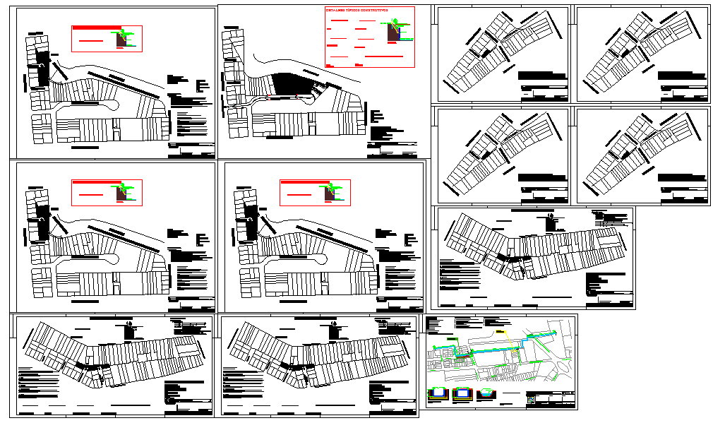
Urban Residential DWG Layout Plan with Plots, Street and Site Planning
Tags
Ratings & Reviews
Be the first to share your experience with this product. Your review helps others make better decisions!
Description
This detailed Urban Residential DWG Layout Plan featuring comprehensive site planning with plots, streets, service lanes, utilities, and landscape zones for residential developments. The drawing includes multiple views highlighting plot division, road alignment, site circulation, open spaces, and property orientation to ensure optimal urban design and accessibility. Designed for architects, civil engineers, urban planners, and builders, this DWG provides precise dimensions, grid references, and annotations to streamline planning, documentation, and construction. Compatible with AutoCAD, Revit, 3D Max, and SketchUp, this CAD file helps professionals visualize, coordinate, and manage large-scale residential or mixed-use developments. Ideal for residential township, gated community, or urban redevelopment projects, this DWG ensures accurate planning, functional spatial organization, and professional-quality deliverables for modern urban environments.

Uploaded by:
Jafania Waxy
Tags
Ratings & Reviews
Be the first to share your experience with this product. Your review helps others make better decisions!