Roadside Restaurant Elevation Area Layout Drawing in AutoCAD File
Tags
Ratings & Reviews
Be the first to share your experience with this product. Your review helps others make better decisions!
Description
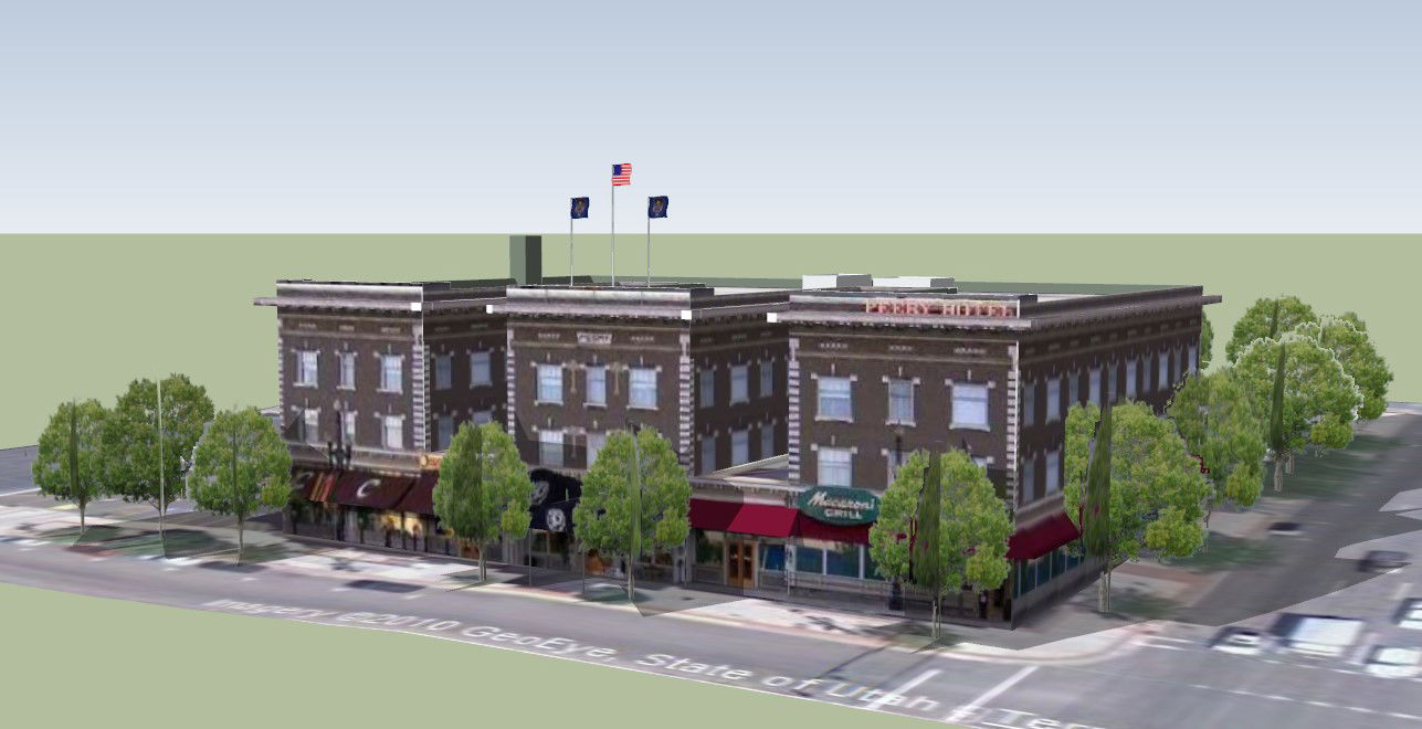
This roadside restaurant elevation area layout AutoCAD DWG drawing presents a clear and functional architectural solution for highway and roadside hospitality projects. The drawing illustrates the complete elevation view combined with area layout planning, showing building frontage, entry positioning, open setback zones, and surrounding circulation connected to the main road. The layout highlights a balanced restaurant massing with defined dining block, service areas, and open frontage suitable for customer visibility from the roadside. Parking and movement zones are clearly indicated with practical spacing, allowing smooth vehicular access and pedestrian safety. The elevation reflects proportional height control, roof profile, window alignment, and façade detailing designed for roadside exposure and easy identification.
This roadside restaurant elevation area layout AutoCAD DWG file is highly useful for architects, civil engineers, interior designers, and builders working on commercial restaurant developments. The drawing supports professional workflows in AutoCAD, 3d Max, Revit, and Google SketchUp for design development, approvals, and presentation. With clean line work, scalable dimensions, and clear planning logic, this drawing helps save time while ensuring efficient space utilization and strong visual impact. It is a valuable reference for planning roadside restaurants and is available through cadbull.com subscription access.
Uploaded by:
helly panchal
Tags
Ratings & Reviews
Be the first to share your experience with this product. Your review helps others make better decisions!