Urban Town Planning Master Layout with Road Network and Plot Blocks
Tags
Ratings & Reviews
Be the first to share your experience with this product. Your review helps others make better decisions!
Description
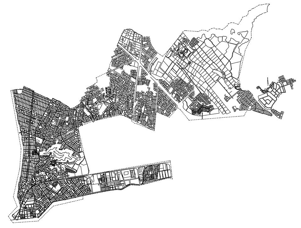
This Urban Town Planning Master Layout DWG file presents a comprehensive city development and land use planning drawing for professional design and infrastructure projects. The layout includes a complete road network system with primary, secondary, and internal streets, residential and commercial plot blocks, public open spaces, and administrative zones. The drawing illustrates boundary demarcation, sector division, and organized street grids for efficient traffic circulation. All planning elements are arranged with scaled measurements, plot alignment, road widths, junction spacing, and block dimensions represented in meters. The DWG file supports detailed urban analysis, zoning control, and spatial planning for medium to large-scale town development projects.
Uploaded by:
Raj Panna
Tags
Ratings & Reviews
Be the first to share your experience with this product. Your review helps others make better decisions!