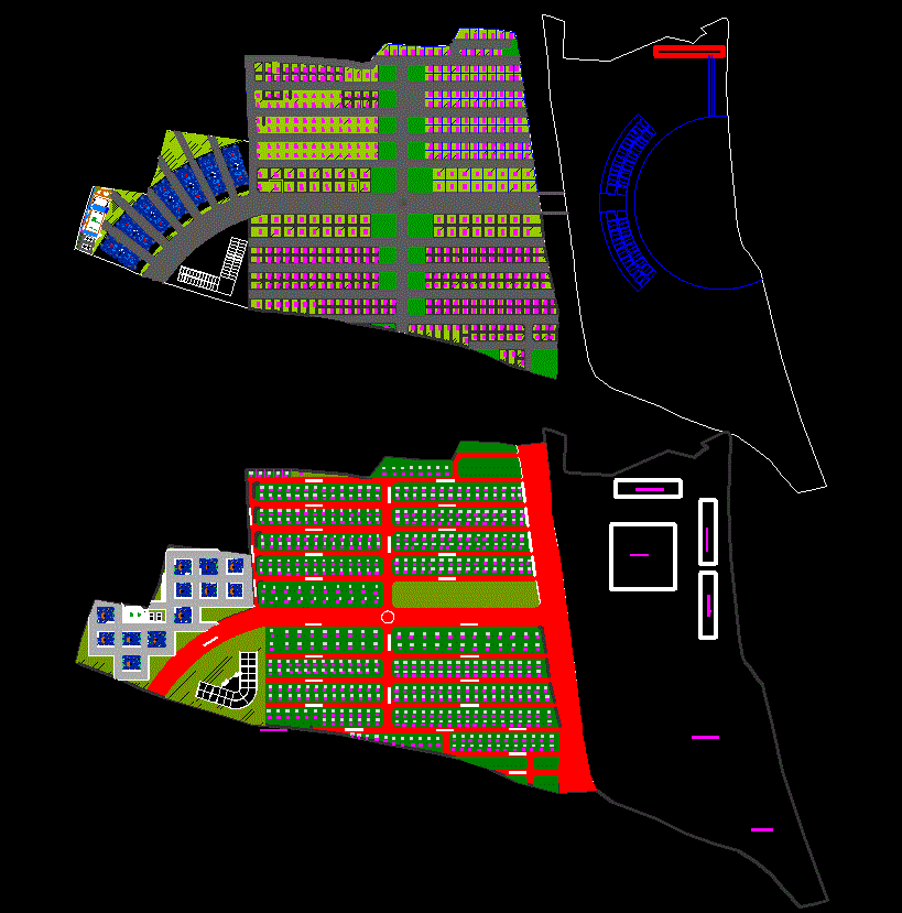
Town Plan CAD Drawing File with Complete Site Layout and Zoning

Ratings & Reviews
Be the first to share your experience with this product. Your review helps others make better decisions!
Description
This Town Plan CAD drawing file provides a comprehensive layout for urban and residential planning, showcasing different zones, roads, public areas, and green spaces. The drawing uses distinct color codes to define various land use categories, including residential, commercial, recreational, and institutional areas.
The detailed town layout plan demonstrates a systematic approach to zoning, ensuring organized infrastructure, balanced open spaces, and efficient connectivity between different zones. It serves as a valuable resource for architects, civil engineers, and urban planners involved in city design and land development projects.
This DWG CAD helps visualize road networks, block divisions, and property arrangements, offering clarity for project approvals, concept presentations, or academic reference. The use of color-coded zones simplifies planning analysis and aids in better understanding the overall spatial structure.
Ideal for professionals and students, this CAD file ensures accuracy, scalability, and ease of modification for future urban expansion projects.
Tags
Uploaded by:
Eiz
Luna
Ratings & Reviews
Be the first to share your experience with this product. Your review helps others make better decisions!