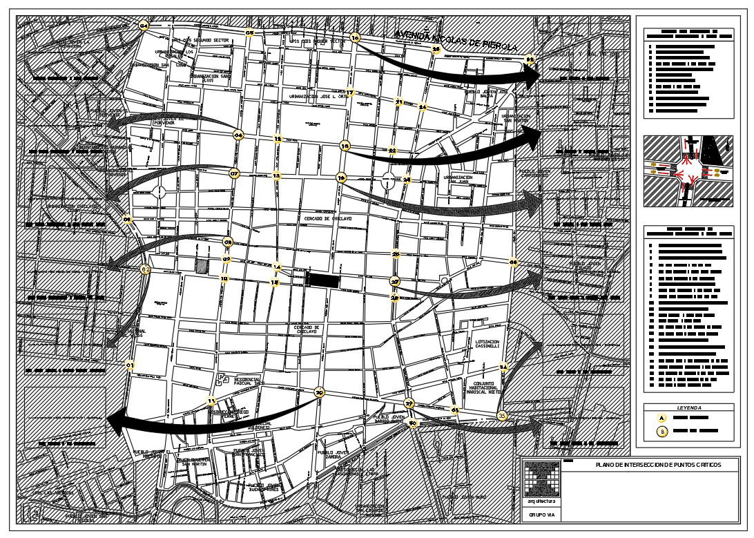
Government Urban Planning Map with Road Flow Analysis Plans.
Tags
Ratings & Reviews
Be the first to share your experience with this product. Your review helps others make better decisions!
Description
Government urban planning map drawing presents a detailed city road network with directional traffic flow arrows and critical intersection marking prepared in precise AutoCAD format. The layout highlights main arterial roads approximately 18.00 m to 24.00 m wide and secondary roads ranging from 9.00 m to 12.00 m for internal circulation. Major junction nodes are identified with numbered circular markers for traffic evaluation and infrastructure planning. Shaded boundary areas define government project limits and sector-wise administrative control zones. The drawing clearly organizes residential blocks, commercial strips, and institutional areas connected through structured grid planning.




Uploaded by:
Priyanka Patel
Tags
Ratings & Reviews
Be the first to share your experience with this product. Your review helps others make better decisions!