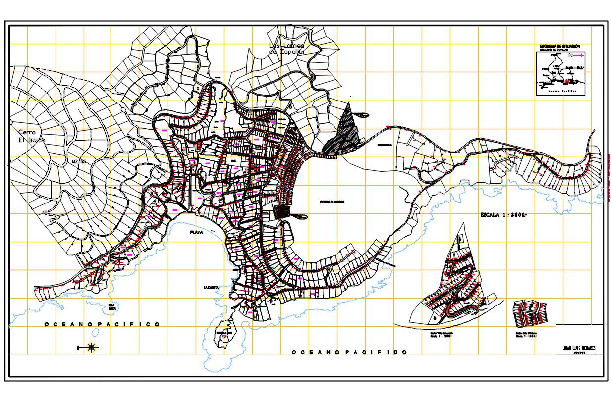
City Zapallar Map DWG File with Detailed Measurements and Design
Tags
Ratings & Reviews
Be the first to share your experience with this product. Your review helps others make better decisions!
Description
This DWG file features the detailed city map of Zapallar, located in the V region of Chile, designed for professional use. It includes the city’s infrastructure, layout, and all measurements, providing essential data for architects, civil engineers, and urban planners. Designed with precision, this file offers accurate representations of streets, buildings, and surrounding areas, created in AutoCAD format for seamless integration into your design projects. Use this map for city planning, urban development, or as part of a larger architectural project.
Uploaded by:
Albert stroy
Tags
Ratings & Reviews
Be the first to share your experience with this product. Your review helps others make better decisions!