Yarinacocha District Urban Planning DWG File with Detailed City Layout
Tags
Ratings & Reviews
Be the first to share your experience with this product. Your review helps others make better decisions!
Description
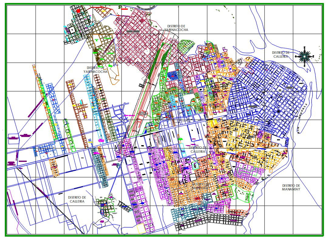
The Yarinacocha District Urban Planning DWG file presents a comprehensive city layout, showcasing a detailed historical and modern planning system for urban development. This file includes precise measurements and city zones, perfect for architects, civil engineers, and urban planners. Designed in AutoCAD format, this file highlights various districts, including the Yarinacocha and Calleria regions, and offers a full view of the city’s planned infrastructure. Whether you are working on city planning, historical preservation, or new development projects, this DWG file provides all the data needed to complete your design seamlessly.
Uploaded by:
Albert stroy
Tags
Ratings & Reviews
Be the first to share your experience with this product. Your review helps others make better decisions!