Urban Planning Topography DWG File with Detailed Contour Mapping
Ratings & Reviews
Be the first to share your experience with this product. Your review helps others make better decisions!
Description
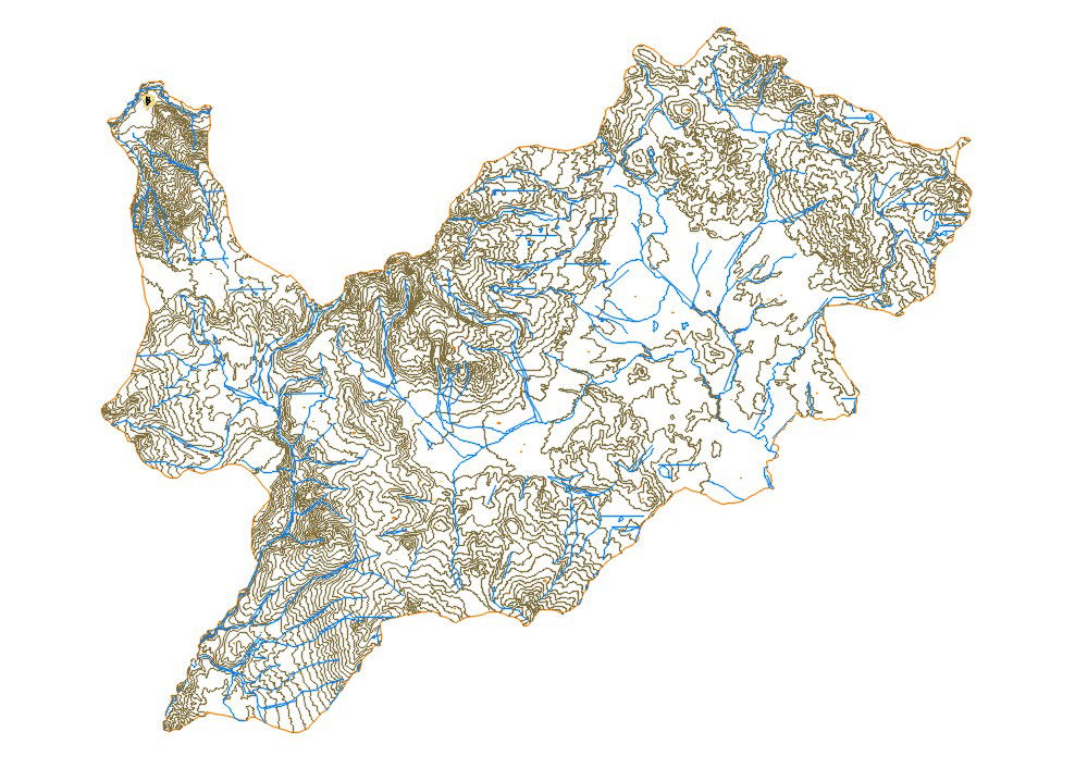
This Urban Planning Topography DWG File presents a detailed contour based land study prepared in AutoCAD format. The drawing includes dense contour lines, elevation variations, natural drainage patterns, and boundary demarcations for accurate terrain analysis. Stream networks and slope transitions are clearly illustrated to support land development planning and infrastructure alignment. The map provides precise topographical representation suitable for master planning, road alignment design, and environmental assessment studies.
Tags
Uploaded by:
Priyanka
Patel
Ratings & Reviews
Be the first to share your experience with this product. Your review helps others make better decisions!