General Town Planning Layout San Pedro de Macao Urban Restoration Plan
Tags
Ratings & Reviews
Be the first to share your experience with this product. Your review helps others make better decisions!
Description
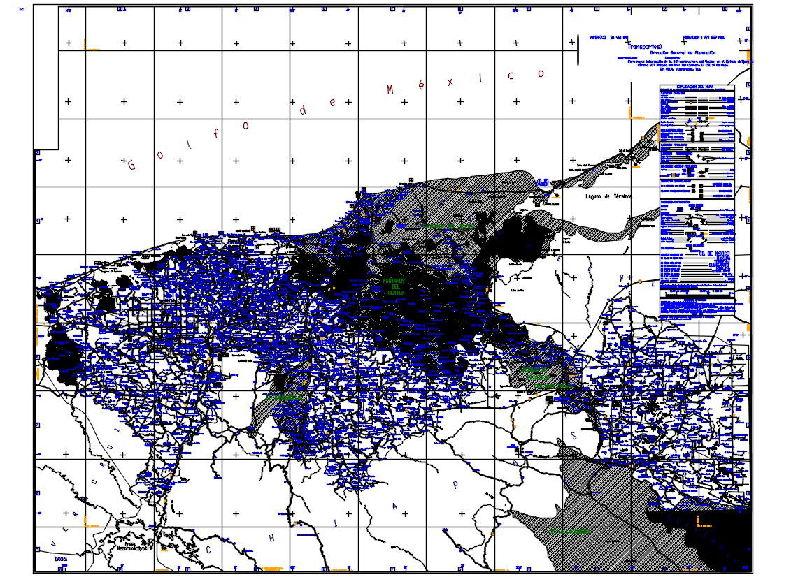
General Town Planning layout of San Pedro de Macao, Dominican Republic, presented in structured AutoCAD format. This General Town Planning drawing illustrates detailed urban restoration mapping, including road network alignment, plot subdivision blocks, transportation routes, zoning grids, and municipal boundary references. The plan highlights urban density distribution, infrastructure corridors, contour references, and sectional grid coordination for planning analysis. Clear layer organization supports architects and civil engineers in reviewing land use classification, access routes, public facility allocation, and restoration planning strategy within San Pedro de Macao.
Uploaded by:
Albert stroy
Tags
Ratings & Reviews
Be the first to share your experience with this product. Your review helps others make better decisions!