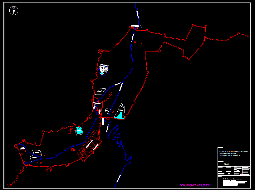
Nahargarh Fort Jaipur Location Site Plan DWG with Access Route
Tags
Ratings & Reviews
Be the first to share your experience with this product. Your review helps others make better decisions!
Description
This AutoCAD DWG file presents a detailed site location and access route plan of Nahargarh Fort, Jaipur, showing the surrounding terrain, road network, and connectivity layout. The drawing highlights the fort boundary, approach roads, nearby natural features, and proposed development components using clear linework and color coding. The site plan includes directional symbols, mapping references, and structural positioning to support architectural and urban planning documentation. This Nahargarh Fort Jaipur site plan drawing is suitable for architects, civil engineers, and planners working on heritage conservation, tourism development, and infrastructure planning projects.
Uploaded by:
aazad bharat
Tags
Ratings & Reviews
Be the first to share your experience with this product. Your review helps others make better decisions!