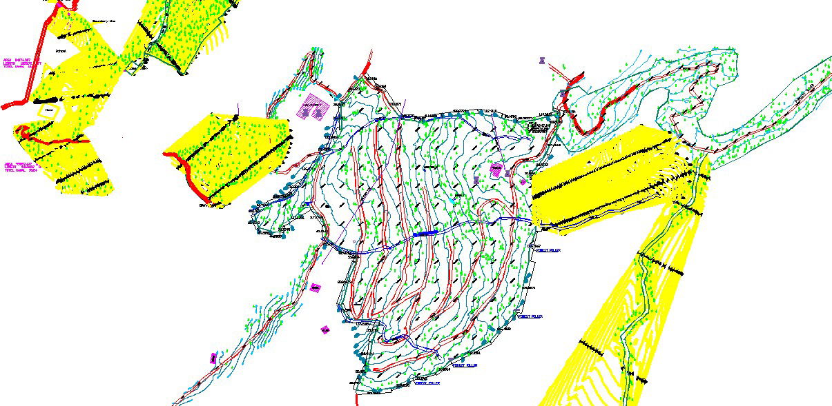
Topographic Site Plan with Road and Drainage Layout AutoCAD DWG
Tags
Ratings & Reviews
Be the first to share your experience with this product. Your review helps others make better decisions!
Description
This AutoCAD DWG file features a detailed topographic site plan with precise measurements for roads, drainage systems, and contour lines. It includes key structural details such as land elevations, topography lines, and road alignments, with clear markings of different terrain and sections. The plan is ideal for civil engineers, urban planners, and architects working on infrastructure projects. With visualized drainage paths and road layouts, this drawing ensures efficient space utilization and proper drainage planning for any site development project.

Uploaded by:
Fernando Zapata
Tags
Ratings & Reviews
Be the first to share your experience with this product. Your review helps others make better decisions!