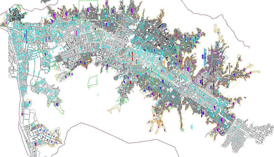
Detailed City Map DWG Plan with Roads, Buildings, and Layout Design

Ratings & Reviews
Be the first to share your experience with this product. Your review helps others make better decisions!
Description
This City Map DWG provides a detailed representation of urban infrastructure, featuring streets, road networks, building footprints, and city layouts. The drawing includes precise measurements of roads, intersections, plot boundaries, and key landmarks, making it an essential tool for architects, civil engineers, urban planners, and designers. With clear labeling and organized layers, this DWG allows easy integration into CAD software like AutoCAD, 3D Max, Revit, and Google SketchUp for professional city planning and project visualization.
Tags
Uploaded by:
Jafania
Waxy
Ratings & Reviews
Be the first to share your experience with this product. Your review helps others make better decisions!