Cartographic Location Map Plan with Landmark and Site Reference
Tags
Ratings & Reviews
Be the first to share your experience with this product. Your review helps others make better decisions!
Description
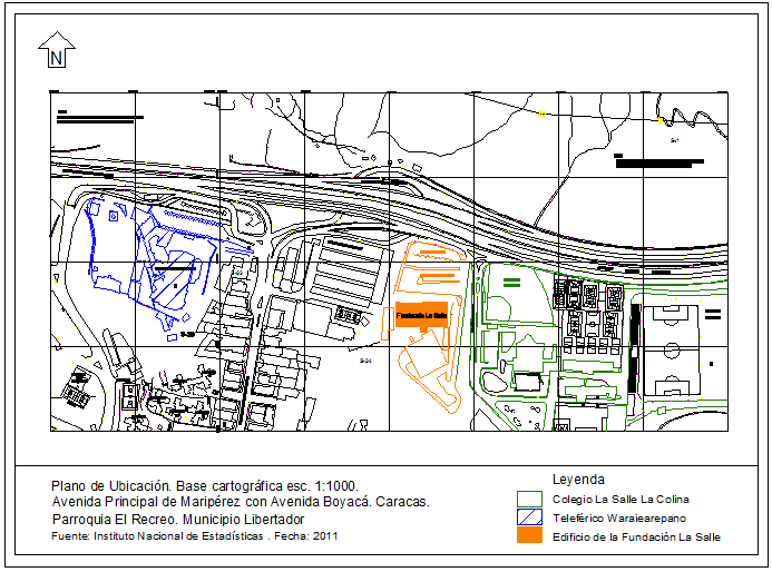
This AutoCAD DWG file presents a cartographic location map plan with landmark and site reference based on a detailed cartographic base at scale 1 1000. The drawing clearly identifies the primary road network, surrounding streets, and access routes connected to the project site. Nearby landmarks, institutional buildings, open spaces, and adjacent developments are highlighted to provide contextual understanding of the site surroundings. The location map CAD layout includes a north direction indicator, boundary references, and legend symbols that explain each mapped element. Road alignments, property blocks, and urban grid lines are accurately drafted to support planning documentation and presentation requirements.

Uploaded by:
Liam White
Tags
Ratings & Reviews
Be the first to share your experience with this product. Your review helps others make better decisions!