File shows the Autocad drawing model of registration plain almetric survey with indication in earth surveying. Download the Autocad DWG drawing file.
Description
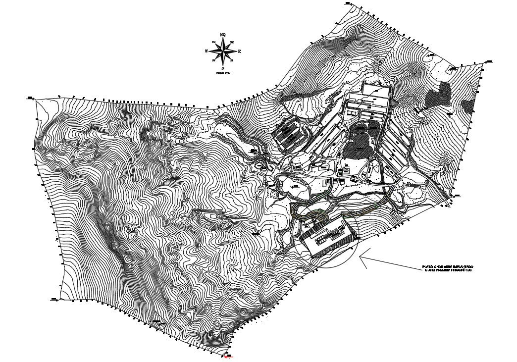
File shows the Autocad drawing model of registration plain almetric survey with indication in earth surveying. Drawings were given in Graphical scale and nominal scale. Geodesists determined the coordinates of points by using Earth-based surveying tools to measure the distances between points. Thanks for downloading the file and other CAD program from our website.
Uploaded by: