Almetric Survey Plan Registration DWG with Plot Dimensions Detail
Ratings & Reviews
Be the first to share your experience with this product. Your review helps others make better decisions!
Description
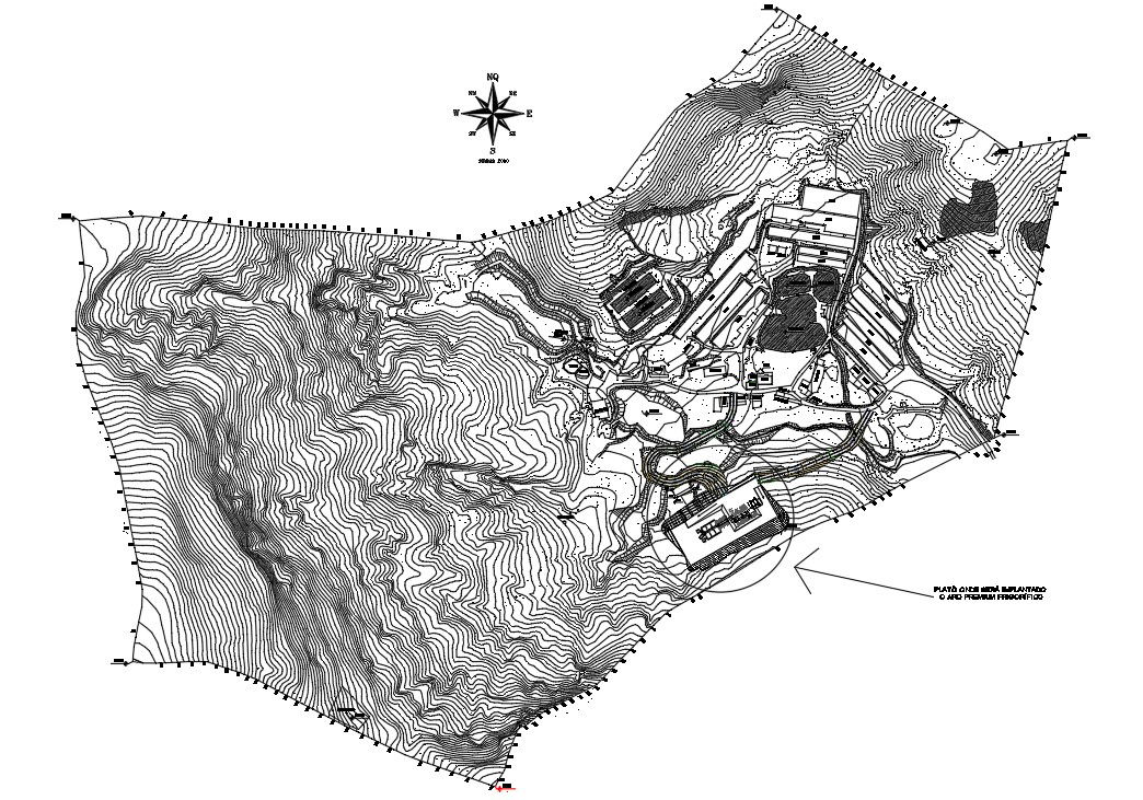
Explore a detailed almetric survey plan registration DWG designed for accurate land measurement and earth surveying applications. This AutoCAD drawing presents a complete survey layout including plot boundaries, reference points, and registration markings used in land documentation and mapping. The drawing includes precise dimensional data with plot measurements typically represented in meters, such as 10 m to 50 m ranges, along with angular indications and boundary alignments required for proper land registration. Survey lines, grid references, and directional indicators are clearly illustrated to support real-world site analysis and documentation. This DWG file is highly beneficial for surveyors, civil engineers, and planning professionals involved in land development and mapping projects.
Tags
Uploaded by:
Marvel
Ratings & Reviews
Be the first to share your experience with this product. Your review helps others make better decisions!