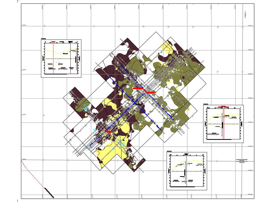
Proposed location of rig site and environmental survey of shallow gas map level 3 were given in this drawing. In this file geodetic parameters, positioning by starfix differential gps were given clearly. Gas levels were indicated by the different colors. Other details like boundary area and limit of survey area were mentions in the legend. Thank you for downloading the cad file and other program file from our website.