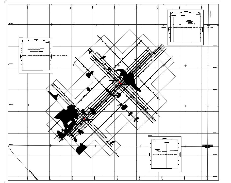
Rig site and environmental survey of shallow gas map level 1 and level 2 of the proposed locations were given in this drawing model. Download the Autocad DWG file.
Description
Rig site and environmental survey of shallow gas map level 1 and level 2 of the proposed locations were given in this drawing model. Existing well location, existing pipeline, block boundary, seismic amplitude anomaly were mentioned by the hatching. Thank you for downloading the cad file and other program file from our website.
Uploaded by: