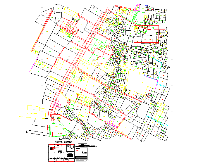
Town Planning Layout Detail with Road Network and Plot Design
Tags
Ratings & Reviews
Be the first to share your experience with this product. Your review helps others make better decisions!
Description
Town planning layout detail CAD drawing showing organized urban planning with road network, plot arrangement, residential zones, circulation paths, and open spaces. The drawing illustrates land subdivision, street hierarchy, and planning structure useful for township development and city planning projects. It helps architects, planners, and civil engineers understand zoning distribution, connectivity, and infrastructure layout within a planned urban area. The CAD drawing supports master planning, residential township design, and municipal development proposals with clear planning organization and spatial arrangement. Proper town planning layouts include road systems, zoning areas, and public utility spaces to ensure balanced urban growth and functional city development.
Uploaded by:
Priyanka Patel
Tags
Ratings & Reviews
Be the first to share your experience with this product. Your review helps others make better decisions!