Geographic Map Layout Drawing With Rivers Boundaries And Regional
Tags
Ratings & Reviews
Be the first to share your experience with this product. Your review helps others make better decisions!
Description
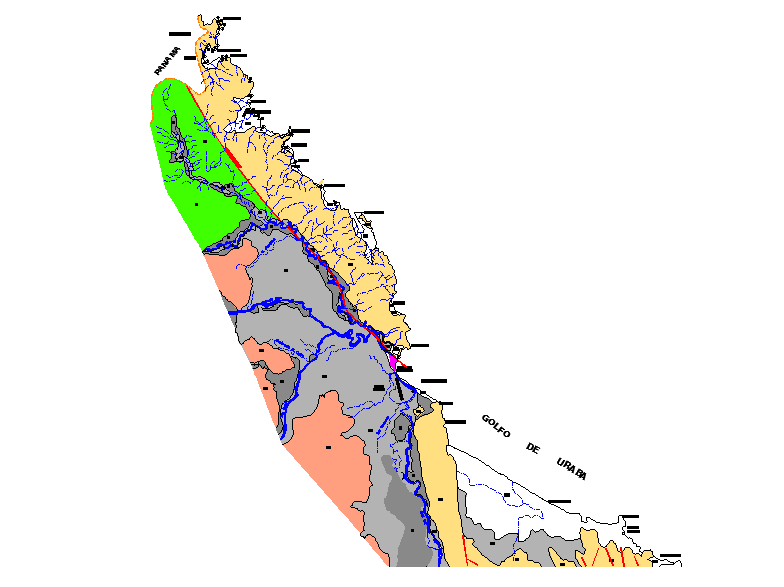
This geographic map layout drawing presents a detailed regional map design illustrating terrain zones, river networks, and boundary divisions across a mapped landscape area. The drawing shows multiple colored regions that represent different geographic zones distributed across the map layout. River systems are illustrated using blue lines that flow through the mapped terrain, connecting valleys and drainage areas across the region. Boundary lines and regional divisions are clearly defined, allowing the viewer to understand the spatial relationship between different geographic areas. Labels are positioned along the map to identify important locations and geographic sections within the regional map design.
Uploaded by:
Priyanka Patel
Tags
Ratings & Reviews
Be the first to share your experience with this product. Your review helps others make better decisions!