Urban Development Planning CAD Drawing With City Layout Detail
Tags
Ratings & Reviews
Be the first to share your experience with this product. Your review helps others make better decisions!
Description
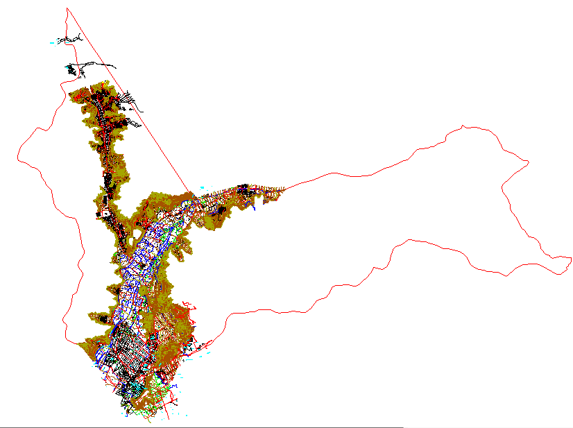
Urban Development Planning CAD Drawing with city layout detail is a comprehensive AutoCAD DWG file prepared for large-scale urban planning and infrastructure development projects. This urban development planning CAD drawing presents a detailed layout of city-level planning elements, including road networks, land development zones, boundary lines, and infrastructure alignment used for regional planning studies. The drawing includes multiple line types representing transportation routes, development sectors, urban boundaries, and planning divisions that help planners and engineers understand the spatial organization of the urban landscape. Such urban development CAD drawings are widely used for city expansion planning, transportation network analysis, and regional infrastructure management.
Uploaded by:
Priyanka Patel
Tags
Ratings & Reviews
Be the first to share your experience with this product. Your review helps others make better decisions!