Urban Planning Layout Map Design Drawing In AutoCAD DWG File
Tags
Ratings & Reviews
Be the first to share your experience with this product. Your review helps others make better decisions!
Description
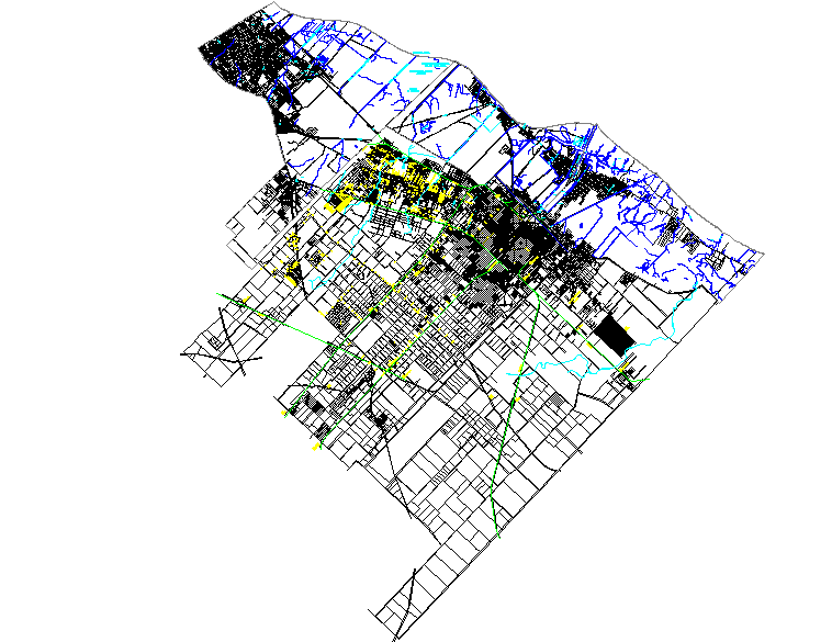
Urban planning layout map design drawing in an AutoCAD DWG file presents a detailed city planning map used for urban development and infrastructure planning projects. This urban planning layout map design drawing illustrates a large-scale city layout including road networks, plot divisions, residential and commercial zones, and surrounding land parcels. The drawing shows multiple street connections, road alignments, and urban blocks similar to a digital map layout, helping planners visualize how the city area is organized. The design also highlights different zones using varied line types and color layers representing transportation routes, land use divisions, and environmental features.
Uploaded by:
Priyanka Patel
Tags
Ratings & Reviews
Be the first to share your experience with this product. Your review helps others make better decisions!