Detailed Land Location DWG AutoCAD Topography projects Plan Layout
Description
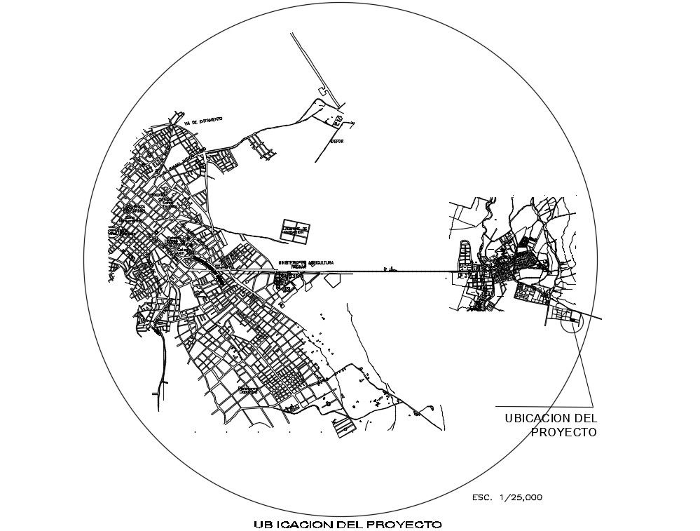
This DWG file provides a comprehensive topography land location drawing, featuring contour lines, elevation data, and site boundaries. It's tailored for AutoCAD users involved in site planning, land development, and infrastructure projects. Suitable for government proposals and urban planning, this drawing aids in accurate land analysis and design. Utilize it for efficient site layout and development planning.
File Type:
3d max
File Size:
877 KB
Category::
Projects
Sub Category::
Architecture House Projects Drawings
type:
Gold
Uploaded by: