Land Location Topography Plan Layout with Scale 1 25000 CAD Drawing
Tags
Ratings & Reviews
Be the first to share your experience with this product. Your review helps others make better decisions!
Description
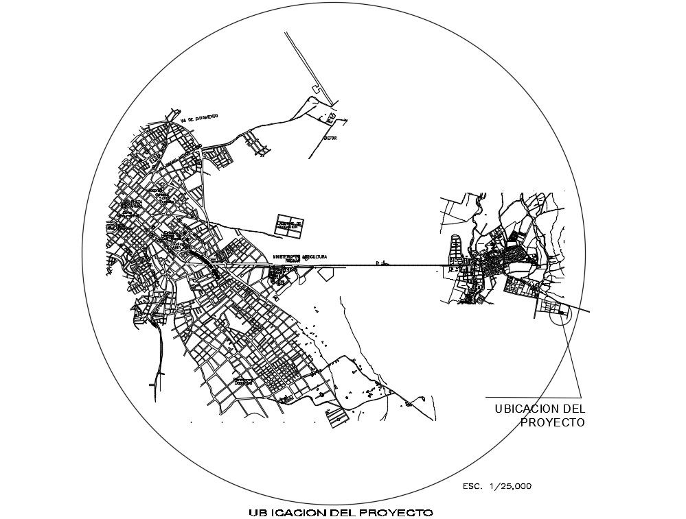
This AutoCAD DWG drawing presents a detailed land location topography plan layout prepared with a clear scale of 1 25000, suitable for regional-level site analysis and planning. The drawing illustrates mapped road networks, settlement patterns, project location reference, and surrounding urban connections within a defined circular boundary. Contour representation, land edges, and spatial relationships are clearly drafted to support accurate interpretation of terrain and access. This layout helps professionals understand the broader geographical context of a project area before detailed design development.
The land location topography CAD drawing is suitable for site planning, infrastructure alignment, and urban or regional development studies. It supports government proposals, planning approvals, and feasibility documentation by offering a clean and precise visual reference of land positioning. The DWG file is useful for architects, civil engineers, interior designers, builders, and planning consultants who require dependable base drawings for AutoCAD, Revit, 3d Max, or SketchUp workflows. With clear line work and consistent scaling, this drawing assists in coordination, land analysis, and early-stage project decision-making.
Uploaded by:
Pavithra
Tags
Ratings & Reviews
Be the first to share your experience with this product. Your review helps others make better decisions!