Map Layout Detail DWG CAD Drawing with Site Planning Layouts
Tags
Ratings & Reviews
Be the first to share your experience with this product. Your review helps others make better decisions!
Description
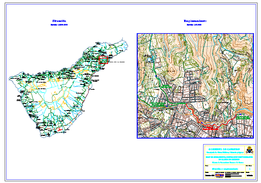
Download this Map Layout Detail DWG CAD drawing that presents a clear site layout and mapping design used for planning and land development projects. The drawing illustrates a detailed map layout that helps visualize land arrangement, boundary organization, and planning structure within the site. The layout design provides a clear representation of plotted areas, circulation paths, and organized land sections that assist architects, civil engineers, and planners in understanding spatial distribution. This DWG drawing is useful for preliminary planning, site organization, and mapping reference during design and development stages.
Uploaded by:
Priyanka Patel
Tags
Ratings & Reviews
Be the first to share your experience with this product. Your review helps others make better decisions!