Urban Planning Layout Plan Road Stream Topographic Level Detail
Tags
Ratings & Reviews
Be the first to share your experience with this product. Your review helps others make better decisions!
Description
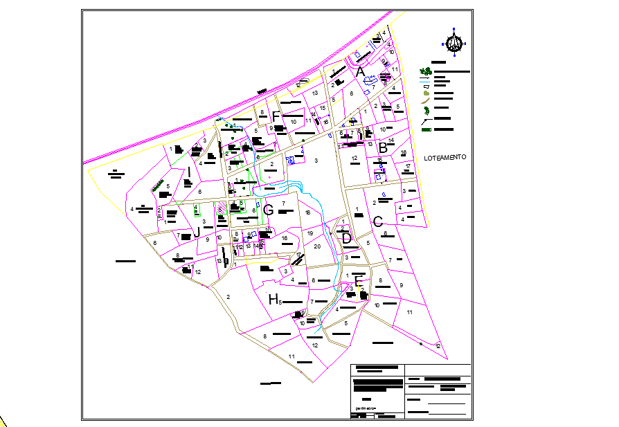
Urban planning layout drawing presents a detailed urban planning layout plan illustrating the spatial organization of plots, road networks, and environmental features within a planned development area. The drawing clearly shows the distribution of land parcels arranged along internal road alignments that create structured circulation throughout the site. Natural elements such as streams or water channels are integrated into the urban planning layout to maintain environmental balance and natural drainage flow. Vegetation areas and scattered trees are represented to indicate landscape coverage within the development zone. The layout also includes rock formations and topographic points that define the natural terrain conditions of the site. Leveling references are shown to explain elevation variations and ground slope adjustments required during site development planning.
Uploaded by:
Priyanka Patel
Tags
Ratings & Reviews
Be the first to share your experience with this product. Your review helps others make better decisions!