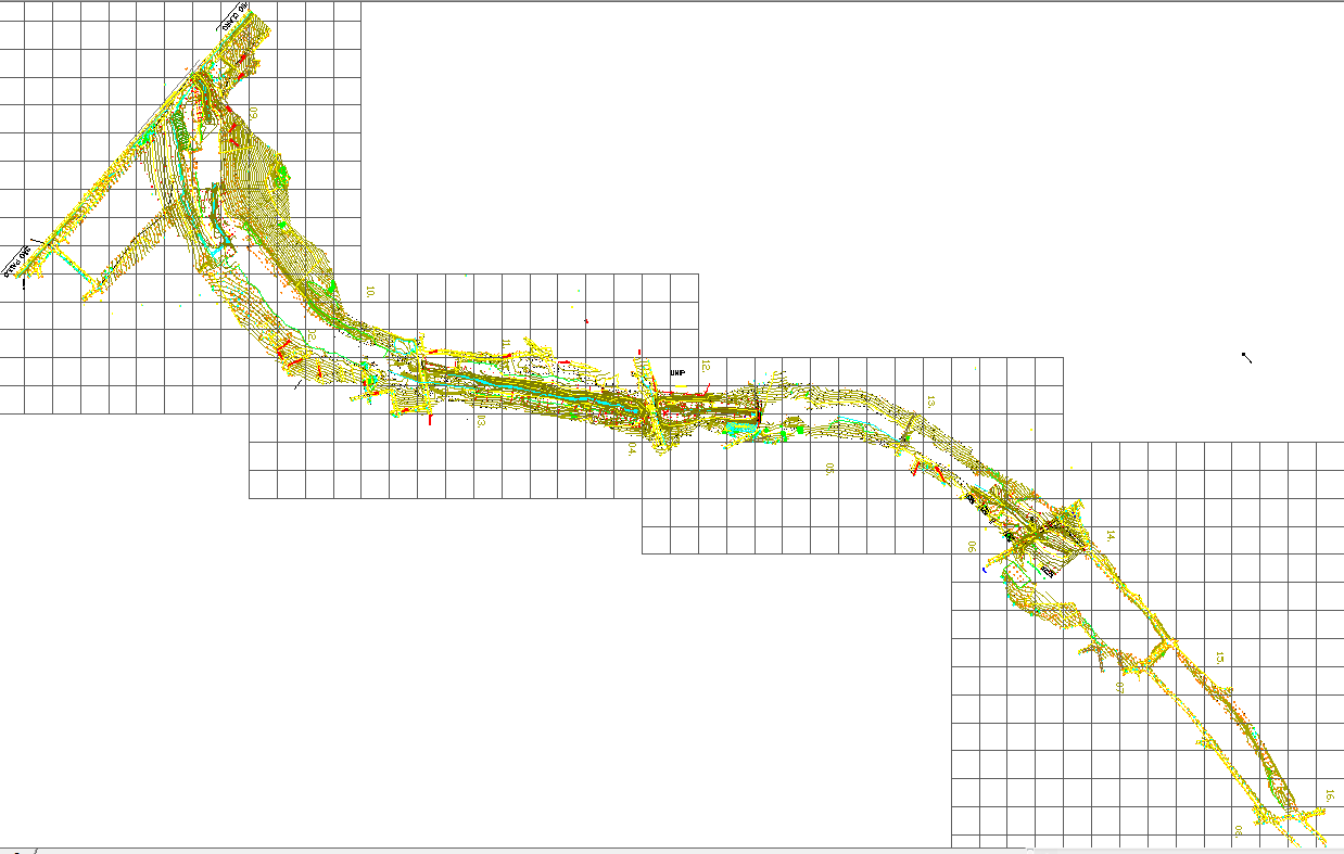
Land contour detail drawing with topography survey layout plan
Tags
Ratings & Reviews
Be the first to share your experience with this product. Your review helps others make better decisions!
Description
This land contour detail drawing with topography survey layout plan presents a comprehensive terrain mapping design used for engineering and land development projects. The drawing illustrates detailed contour lines representing elevation variations across the site, along with grid references and survey control points used for accurate topographic analysis. The land contour detail drawing with topography survey layout plan helps civil engineers, surveyors, and planners understand terrain slopes, natural land gradients, and elevation differences within the surveyed area. Contour intervals and mapped terrain lines provide important information for planning construction, drainage systems, and infrastructure development based on existing land conditions.
Uploaded by:
K.H.J Jani
Tags
Ratings & Reviews
Be the first to share your experience with this product. Your review helps others make better decisions!