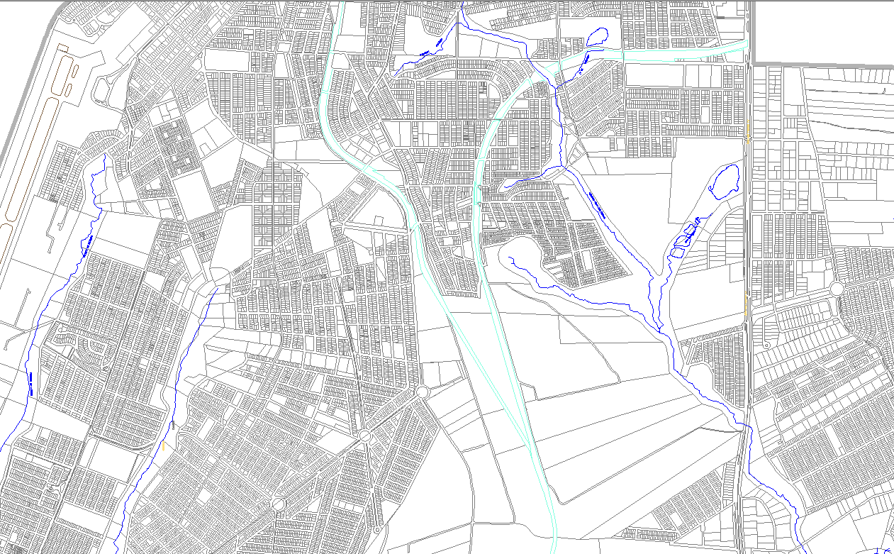
City Urban Master Plan DWG Layout with Roads, Plots and Infrastructure
Tags
Ratings & Reviews
Be the first to share your experience with this product. Your review helps others make better decisions!
Description
This City Urban Master Architecture Plan DWG provides a detailed layout of an urban township, including roads, plot divisions, zoning blocks, water channels, and open spaces. The drawing highlights street networks, roundabouts, residential and commercial plot arrangements, and landscape areas. Ideal for architects, civil engineers, and urban designers, this DWG file supports AutoCAD, Revit, 3D Max, and SketchUp workflows, allowing precise planning, visualization, and project development. Each road, intersection, and plot measurement is clearly defined to ensure efficient infrastructure and city planning.
Uploaded by:
K.H.J Jani
Tags
Ratings & Reviews
Be the first to share your experience with this product. Your review helps others make better decisions!