Cadastral Map Plan Lima Peru District Layout CAD Drawing Detail
Tags
Ratings & Reviews
Be the first to share your experience with this product. Your review helps others make better decisions!
Description
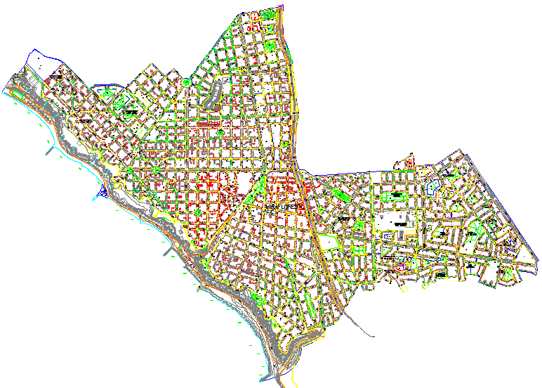
This cadastral map plan drawing represents a detailed urban layout of a district in Lima, Peru, showcasing land parcel divisions, road networks, and urban planning elements. The drawing includes clearly defined plot boundaries, street alignments, intersections, and zoning distribution, making it highly useful for architects, urban planners, and civil engineers working on mapping and land development projects. The structured layout provides an accurate representation of cadastral information required for planning and documentation.
Uploaded by:
manveen kaur
Tags
Ratings & Reviews
Be the first to share your experience with this product. Your review helps others make better decisions!