District Map Layout Plan Urban Design CAD Drawing Detail File
Tags
Ratings & Reviews
Be the first to share your experience with this product. Your review helps others make better decisions!
Description
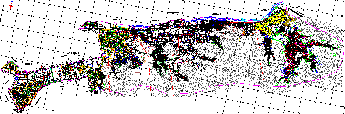
This district map layout plan drawing provides a comprehensive urban design representation, including land parcels, road networks, contour lines, and zoning details. The drawing illustrates a detailed general plan of the district with clearly defined boundaries, infrastructure layout, and topographical features. It is highly useful for architects, urban planners, and civil engineers working on land development, city planning, and mapping projects. The inclusion of contour information enhances understanding of terrain and elevation variations within the area.
Uploaded by:
manveen kaur
Tags
Ratings & Reviews
Be the first to share your experience with this product. Your review helps others make better decisions!