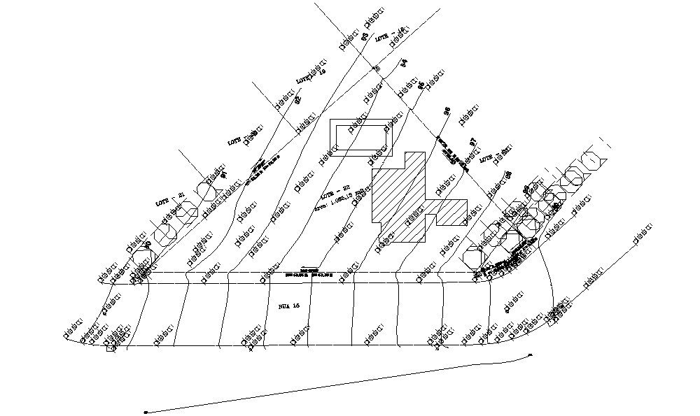
Site plan Survey.
Tags
#Site plan#layout#site landscaping#cad drawings#Site plan Survey.
Ratings & Reviews
⭐
No Reviews Yet
Be the first to share your experience with this product. Your review helps others make better decisions!
★★★★★
Description
This Architectural Drawing is AutoCAD 2d drawing of Site plan Survey. A Site Plan is a sketch that is prepared from the information that is taken from a Survey. It includes a combination of a Boundary survey and a Topographic survey and is used for the preparation of a site plan or other documents which will depict proposed improvements to a parcel of land. For more dsetails and information download the drawing file.

Uploaded by:
Eiz Luna
Tags
#Site plan#layout#site landscaping#cad drawings#Site plan Survey.
Ratings & Reviews
⭐
No Reviews Yet
Be the first to share your experience with this product. Your review helps others make better decisions!
★★★★★