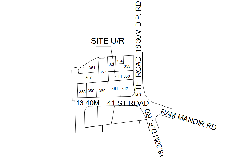
Index map for site location in detail AutoCAD drawing, dwg file, CAD file
Ratings & Reviews
⭐
No Reviews Yet
Be the first to share your experience with this product. Your review helps others make better decisions!
★★★★★
Description
This architectural drawing is Index map for site location in detail AutoCAD drawing, dwg file, CAD file. Users of index maps can locate a set of maps covering their areas of interest as well as the name or number of the pertinent map sheet. Index maps are a form of finding aid. On a piece of paper or a computer screen, an index map displays geospatial information. For more details and information download the drawing file.
Tags
#Index map for site location in detail AutoCAD drawing#dwg file#CAD file#AutoCAD drawing#2D drawing#2D design#AutoCAD design#2D plan#AutoCAD plan
Uploaded by:
viddhi
chajjed
Ratings & Reviews
⭐
No Reviews Yet
Be the first to share your experience with this product. Your review helps others make better decisions!
★★★★★