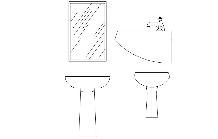
Basin area cad blocks plan and elevation in AutoCAD, dwg file.
Tags
#Basin area cad blocks plan and elevation in AutoCAD#dwg file.
Ratings & Reviews
⭐
No Reviews Yet
Be the first to share your experience with this product. Your review helps others make better decisions!
★★★★★
Description
THis Architectural Drawing is AutoCAD 2d drawing of Basin area cad blocks plan and elevation in AutoCAD, dwg file. It covers large areas of Jharkhand and some parts of West Bengal and Odisha. It is bounded on the North-West by the Chhotanagpur Plateau, in the South-West by Brahmani basin, in the South by Burhabalang basin and in the South-East by the Bay of Bengal. The total catchment area of the basin is 18,951 Sq. Km

Uploaded by:
Eiz Luna
Tags
#Basin area cad blocks plan and elevation in AutoCAD#dwg file.
Ratings & Reviews
⭐
No Reviews Yet
Be the first to share your experience with this product. Your review helps others make better decisions!
★★★★★