Complex building elevation details in AutoCAD, dwg file.
Tags
#Complex building elevation details in AutoCAD#dwg file.
Ratings & Reviews
⭐
No Reviews Yet
Be the first to share your experience with this product. Your review helps others make better decisions!
★★★★★
Description
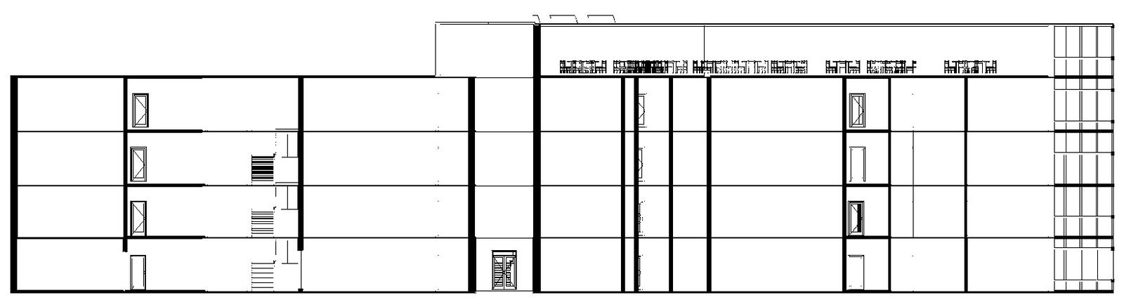
This Architectural Drawing is AutoCAD 2d drawing of Complex building elevation details in AutoCAD, dwg file. Elevation is distance above sea level. Elevations are usually measured in meters or feet. They can be shown on maps by contour lines, which connect points with the same elevation; by bands of color; or by numbers giving the exact elevations of particular points on the Earth's surface.

Uploaded by:
Eiz Luna
Tags
#Complex building elevation details in AutoCAD#dwg file.
Ratings & Reviews
⭐
No Reviews Yet
Be the first to share your experience with this product. Your review helps others make better decisions!
★★★★★