Road Layout Map AutoCAD Drawing with Geo Detail and Block Plan
Ratings & Reviews
Be the first to share your experience with this product. Your review helps others make better decisions!
Description
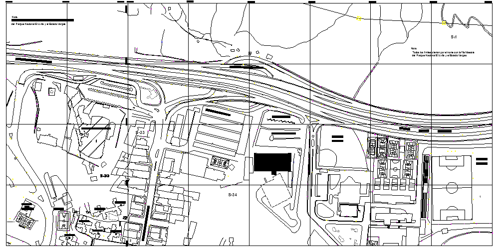
This road layout map AutoCAD drawing file provides a detailed geo-referenced plan with complete mapping and infrastructure information. The drawing includes road numbers, measurements, and alignment with clearly defined intersections and circulation paths. It highlights surrounding developments such as parking lots, college buildings, cotton mills, school areas, and block court layouts for urban planning understanding. The map also features avenue planning, terminal zones, and block divisions with structured grid references for accurate positioning.
Tags
Uploaded by:
Vaishali
Ratings & Reviews
Be the first to share your experience with this product. Your review helps others make better decisions!