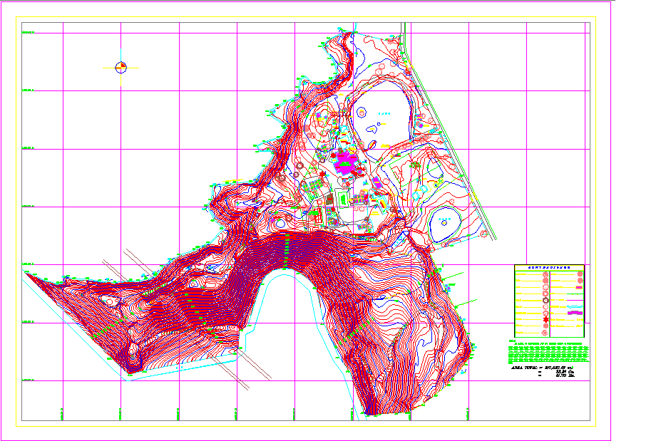
Town Planning Detail DWG with Site Layout Contour and Zoning Map
Tags
Ratings & Reviews
Be the first to share your experience with this product. Your review helps others make better decisions!
Description
This Town Planning Detail DWG file provides a comprehensive site layout featuring contour levels, zoning areas, and land use divisions. The drawing highlights detailed topographic data, site contours, road networks, and building placement, making it an essential reference for urban planning and development projects. The DWG also includes elevation marks, green zones, and plotted sections to support efficient spatial design and environmental integration.
Designed for architects, urban planners, and civil engineers, this layout ensures clarity in project visualization and land management planning. The contour lines provide accurate information on terrain slopes, helping in drainage design, road alignment, and landscape planning. This AutoCAD drawing is ideal for town development, infrastructure planning, and environmental assessment, ensuring professional precision and technical accuracy in every design phase.

Uploaded by:
john kelly
Tags
Ratings & Reviews
Be the first to share your experience with this product. Your review helps others make better decisions!