Town Planning Project Layout Design and Zoning in AutoCAD DWG
Tags
Ratings & Reviews
Be the first to share your experience with this product. Your review helps others make better decisions!
Description
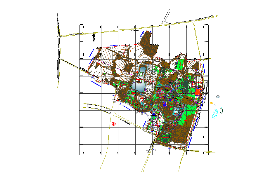
This Town Planning Project layout in an AutoCAD DWG file illustrates a well-structured urban development plan designed for sustainable living and efficient land use. The drawing includes detailed zoning, road networks, green spaces, water bodies, and public utility areas that define the functionality and harmony of the entire township. Each zone is carefully organized to maintain balance between residential, commercial, and recreational spaces, ensuring smooth circulation and aesthetic appeal.
Created using AutoCAD, this DWG file is an essential reference for architects, civil engineers, and urban planners working on city or regional development. It helps in understanding the topographical layout, infrastructure positioning, and spatial relationships among various facilities. Whether you’re planning a new township or upgrading an existing one, this drawing serves as a precise digital base for conceptual and technical planning. The plan emphasizes modern urban infrastructure integrated with sustainable environmental design principles.

Uploaded by:
john kelly
Tags
Ratings & Reviews
Be the first to share your experience with this product. Your review helps others make better decisions!