Town Planning Layout Drawing with Road Network Plot and Zone Plan
Tags
Ratings & Reviews
Be the first to share your experience with this product. Your review helps others make better decisions!
Description
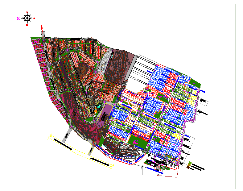
This Town Planning Layout Drawing is prepared in AutoCAD DWG format and presents a comprehensive site-level development plan for urban and residential planning projects. The drawing clearly illustrates the complete land parcel with defined plot divisions, road networks, green zones, and utility areas. Internal roads with approximate widths ranging from 9 m to 18 m are marked with clear alignments and junction points. Individual plots are arranged in systematic blocks with consistent setbacks, access points, and plot boundaries for organized development. Contour lines and natural landform references are included to support grading and site suitability analysis. The town planning drawing also highlights open spaces, landscaped areas, recreational zones, and designated public utility plots.

Uploaded by:
Neha mishra
Tags
Ratings & Reviews
Be the first to share your experience with this product. Your review helps others make better decisions!