Site Survey Plan DWG CAD File for Accurate AutoCAD Layout and Mapping
Tags
#DWG#CAD#site survey plan#AutoCAD#land mapping CAD drawing#construction layout AutoCAD
Ratings & Reviews
⭐
No Reviews Yet
Be the first to share your experience with this product. Your review helps others make better decisions!
★★★★★
Description
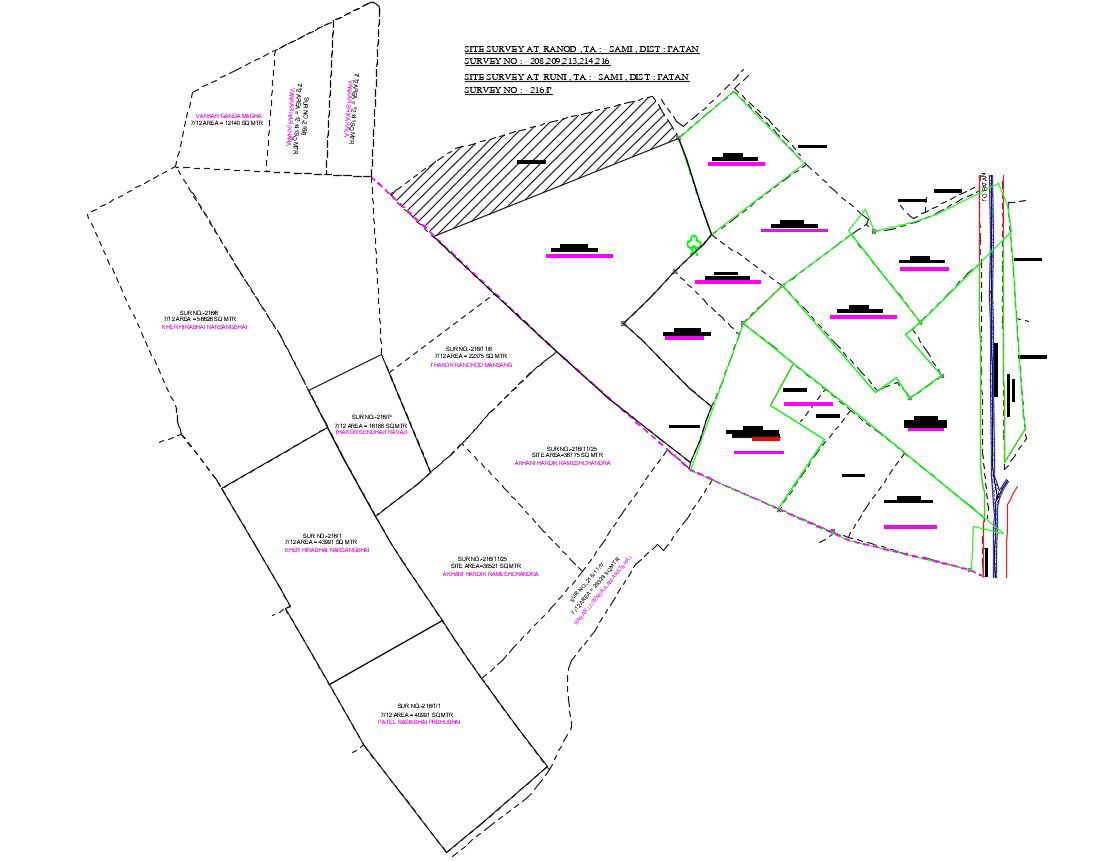
DWG AutoCAD file of site survey plan showing detailed layouts, measurements, and topography for precise CAD drawing and efficient planning. Ideal for architects, engineers, and construction professionals to map sites accurately, plan layouts, and analyze terrain. This CAD drawing file provides all essential information for professional site assessment, helping in precise land plotting, boundary verification, and design integration for any construction or infrastructure project.
Uploaded by:
Komal
Tags
#DWG#CAD#site survey plan#AutoCAD#land mapping CAD drawing#construction layout AutoCAD
Ratings & Reviews
⭐
No Reviews Yet
Be the first to share your experience with this product. Your review helps others make better decisions!
★★★★★