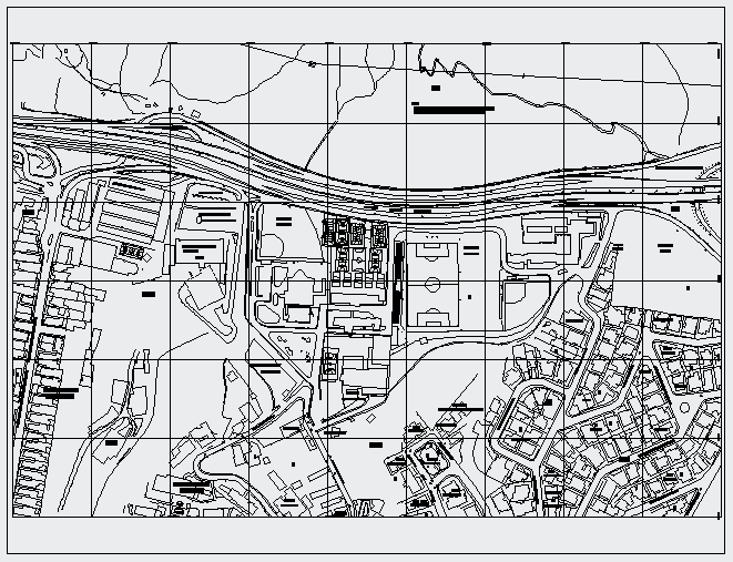
Geometric Layout Plan with Road Grid and Urban Block Dimensions
Tags
Ratings & Reviews
Be the first to share your experience with this product. Your review helps others make better decisions!
Description
This geometric layout plan presents a detailed urban mapping drawing showing road grid alignment, block divisions, and surrounding infrastructure with proportional dimensions. The layout clearly illustrates primary and secondary road networks, intersection geometry, curved roadway transitions, and boundary limits across the mapped area. Urban blocks are defined with structured grid lines, plot segmentation, and circulation routes to support organized land distribution. Contour indications and open land parcels are integrated within the geometric framework to provide accurate spatial reference for planning and development.

Uploaded by:
Umar Mehmood
Tags
Ratings & Reviews
Be the first to share your experience with this product. Your review helps others make better decisions!