India Map AutoCAD DWG File with State Boundaries for Design.
Tags
Ratings & Reviews
Be the first to share your experience with this product. Your review helps others make better decisions!
Description
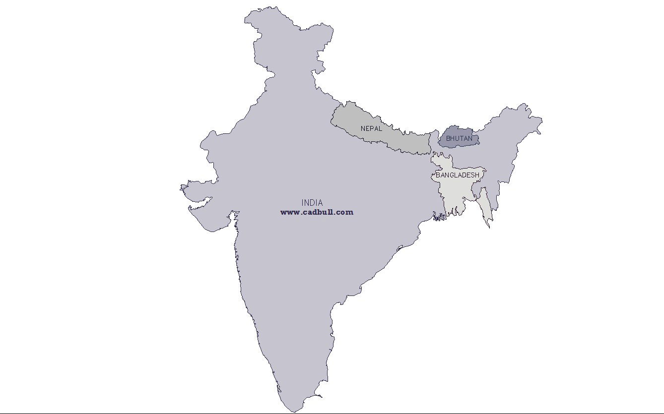
This AutoCAD India map DWG file with state boundaries is useful for professionals working in urban planning, civil engineering, GIS, architecture, and landscape design. The drawing clearly shows India’s outline and internal administrative divisions, making it ideal for use in regional projects, master planning, infrastructure development, and thematic mapping. Designers using AutoCAD, Civil 3D, Revit, and other CAD or GIS software can leverage this DWG file to study boundary relations, overlay design elements, and customize layers for specific project requirements. India map CAD drawings support efficient presentation, accurate geospatial reference, and improved coordination among multidisciplinary teams working on national and regional-scale projects.

Uploaded by:
Liam White
Tags
Ratings & Reviews
Be the first to share your experience with this product. Your review helps others make better decisions!