Townplanning Layout Drawing With Residential Infrastructure Planning
Tags
Ratings & Reviews
Be the first to share your experience with this product. Your review helps others make better decisions!
Description
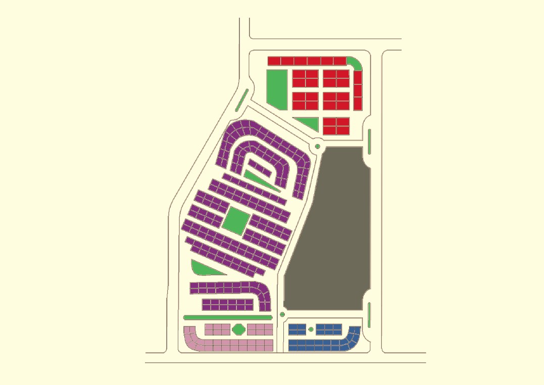
Download this townplanning layout drawing featuring a complete residential and infrastructure planning CAD design with road networks, plot divisions, community spaces, and green areas. The drawing illustrates organized zoning of residential plots, arterial and internal roads, parks, service zones, and utility corridors for effective town development. This townplanning layout CAD file helps urban planners, civil engineers, architects, and municipal designers visualize the distribution of plots, road alignment, open spaces, and functional infrastructure required for modern township planning. The layout shows clear demarcation of blocks, circulation paths, and public spaces that support efficient planning and development.

Uploaded by:
Liam White
Tags
Ratings & Reviews
Be the first to share your experience with this product. Your review helps others make better decisions!