World Map CAD Files With Global Geography Layout And Coordinates
Tags
Ratings & Reviews
Be the first to share your experience with this product. Your review helps others make better decisions!
Description
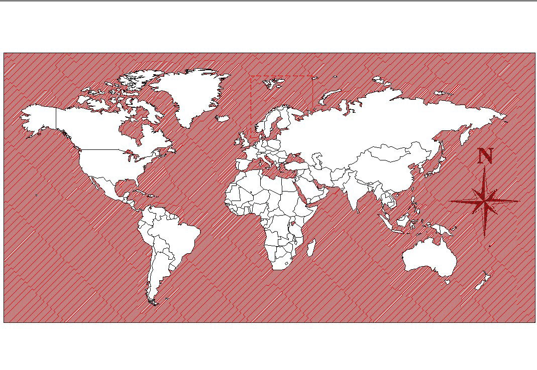
Download these world map CAD files featuring detailed global geography layouts, continent outlines, country boundaries, latitude and longitude grids, and reference coordinate lines. The drawing includes precise map contours that help architects, civil planners, educators, GIS specialists, and designers incorporate accurate global context into architectural visualizations, site planning, landscape layouts, and spatial designs. These world map CAD files provide clear vector outlines that can be used in AutoCAD, Revit, SketchUp, and other design software to integrate global reference views, cartographic details, or thematic maps into project documentation and presentations.

Uploaded by:
Liam White
Tags
Ratings & Reviews
Be the first to share your experience with this product. Your review helps others make better decisions!