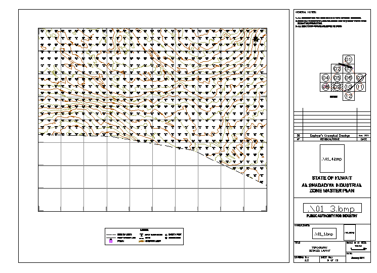
Industrial site contour survey layout with terrain elevation plan
Tags
Ratings & Reviews
Be the first to share your experience with this product. Your review helps others make better decisions!
Description
Industrial site contour survey layout drawing showing terrain elevation lines grid reference points and topographic survey information used for land development planning. The drawing presents contour lines across the site representing natural ground level variation and slope direction used for grading analysis. Survey grid alignment and boundary layout help engineers understand elevation differences and terrain profile. Title block information survey notes and layout reference diagram are included for industrial master planning documentation. This industrial site contour survey layout assists civil engineers in evaluating terrain elevation slope direction and ground survey data for site development design.

Uploaded by:
Eiz Luna
Tags
Ratings & Reviews
Be the first to share your experience with this product. Your review helps others make better decisions!