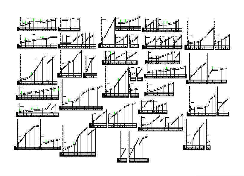
Contour surveying section profiles with terrain graph detail
Ratings & Reviews
Be the first to share your experience with this product. Your review helps others make better decisions!
Description
This contour surveying detail drawing shows terrain profile graphs representing variations in ground elevation across different survey sections, where gradual slopes, steep elevation rise, and stepped ground levels illustrate how the land surface changes along the surveyed line. The profile diagrams present vertical elevation difference and horizontal ground distance, which help in studying site grading and landform structure used in topographic analysis. Such drawings are commonly used in surveying drawings and land survey drawings to understand natural ground levels and terrain behavior before planning construction projects. The contour profiles also support contour surveying drawings and topographic survey drawings where engineers analyze slope transition, elevation variation, and terrain conditions required for road planning, infrastructure layout, and site development studies.
File Type:
DWG
File Size:
636 KB
Category::
Structure
Sub Category::
Section Plan CAD Blocks & DWG Drawing Models
type:
Gold
Tags
Uploaded by:
Priyanka
Patel
Ratings & Reviews
Be the first to share your experience with this product. Your review helps others make better decisions!