Earth Globe Map Detail with Indonesia Layout and Scale Drawing
Tags
Ratings & Reviews
Be the first to share your experience with this product. Your review helps others make better decisions!
Description
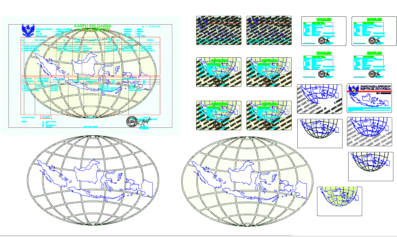
This earth globe map detail drawing presents a detailed geographic layout of Indonesia displayed on a globe projection with grid lines and cartographic scale information. The drawing illustrates the Indonesian archipelago mapped accurately across a spherical globe grid, showing the relative position of islands and surrounding regions. The layout includes latitude and longitude style grid lines, geographic boundaries, and multiple scale views that help visualize the country within a global projection system. Additional elements such as map borders, title blocks, and identification layouts are included to support cartographic presentation and drawing documentation. These details help demonstrate how geographic data can be visually structured within technical design drawings.
Uploaded by:
K.H.J Jani
Tags
Ratings & Reviews
Be the first to share your experience with this product. Your review helps others make better decisions!