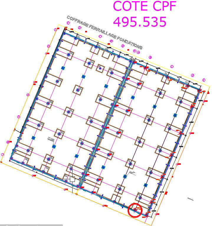
Planimetric & Vertical Control.
Tags
#buildup#cadbull#autocad#architecture#layoutplan
Ratings & Reviews
⭐
No Reviews Yet
Be the first to share your experience with this product. Your review helps others make better decisions!
★★★★★
Description
Primary Control Stations are Observed/Occupied (Double Window Averaging) using Leica GNSS Technology, with the resulting data Post-Processed in specialist Survey Software to produce Station Coordinates related to Ordnance Survey National Grid Reference System. For more details download the Autocad drawing file with detailed dimensions and specifications of this file. This can be used by architects and engineers. Download this 2d AutoCAD drawing file.

Uploaded by:
apurva munet
Tags
#buildup#cadbull#autocad#architecture#layoutplan
Ratings & Reviews
⭐
No Reviews Yet
Be the first to share your experience with this product. Your review helps others make better decisions!
★★★★★